
How a young artist is mapping the competing demands of mines, wind farms and reindeer in Sweden’s North
When people in London hear that artist Petter Schölander is from Sweden, they tend to gush about his homeland as a utopia of equality. However, for the 31-year-old with Sámi ancestry, the observation comes with an uncomfortable contradiction, what he calls the “incredibly unfair” treatment of Sweden’s Indigenous Sámi people.
Earlier this year, that contradiction became much harder for Schölander to ignore when he returned to northern Sápmi, where his mother grew up and where his family has Sámi roots. His visit came while Sweden was preparing for its national election, held on September 13, and the future of Sámi land rights was entering the political debate. Deputy Prime Minister Ebba Busch’s controversial op-ed, in which she proposed scaling back protections for reindeer herding, came just at the end of his trip. And Schölander recalls reindeer-herding families telling him how worried they were about what a change in policy could mean for the few rights they still retained.
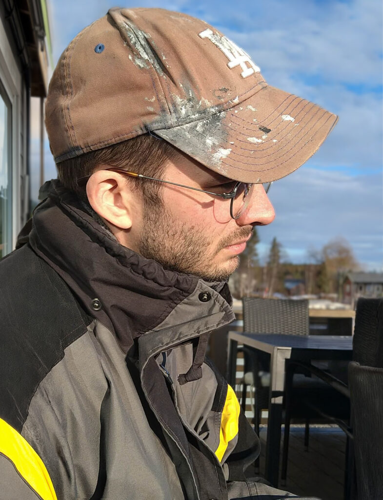
Schölander’s trip also coincided with a shift in his own professional life. After years working mainly as a visual artist in the music industry, he was turning to climate and environmental issues. Back in London, Schölander found himself asking, “What can I do to help from here? What can I do from my computer?” He hadn’t grown up in Sámi areas, so he didn’t want to appoint himself as a spokesperson. “But then I thought, okay, is there any tool I can give them to visualize this?”
Seeing the bigger picture
The answer was Onne, an interactive map Schölander created to show the cumulative pressures on Sámi reindeer-herding lands across northern Sweden. As Schölander describes it, the map brings previously separate projects and land uses together in a single view, showing their combined pressure on the landscape.
On a normal map, a mining company or developer looking at a particular stretch of northern Sweden might see largely empty space, with plenty of room for a new project. But Onne tells a different story. “It’s important to see everything accumulated together,” Schölander says. Seen through the Onne map, the same landscape may already be criss-crossed with forestry, mining and quarrying, roads and other infrastructure, energy projects and reindeer herding trails. So, what looks like a single development site is part of a much more complicated picture.
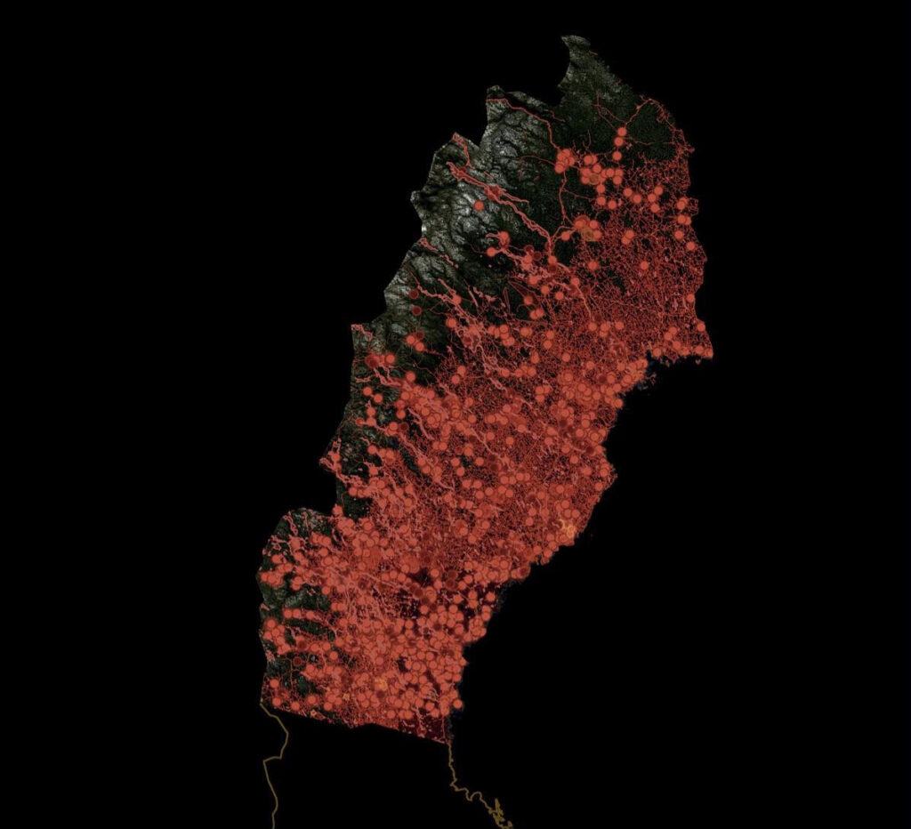
Schölander developed Onne through an art residency program sponsored by the European Space Agency, which gave him access to experts in Earth observation data. Drawing on his own background in coding, he began bringing together satellite imagery and data from Swedish state institutions and other sources. The project took over his summer. “I didn’t really have a vacation,” he says. “I basically sat and tried to get this thing to work and look visually comprehensible.”
Green transition needs trade-offs
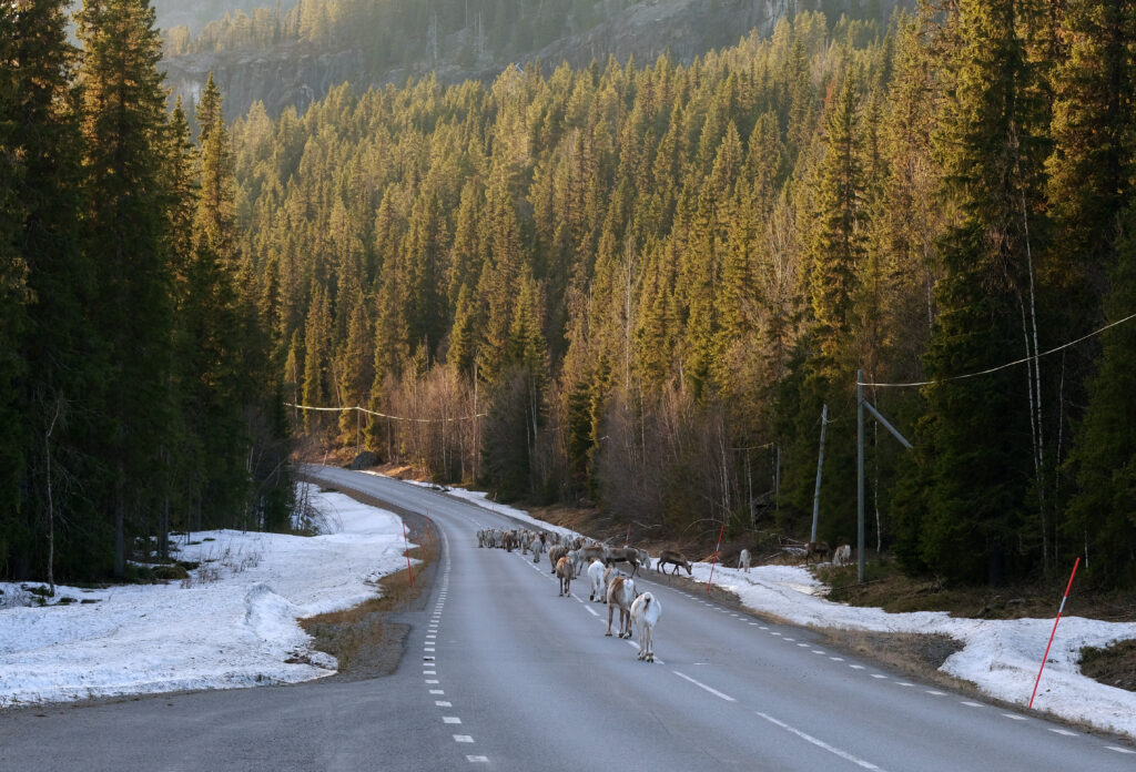
Schölander’s map now offers a simple way of looking at a complex dilemma. “I’m very much for fighting climate change,” he says. Yet on Onne, even wind power — a source of clean energy — appears as another negative pressure on the landscape. For Schölander, the question becomes not whether development should happen, but where it should happen. “For example, do we need to have this wind power in this exact location?” he asks. “Maybe it will cost a little bit more to have it in this other location, but it would save so much of this ancient migration route for the reindeer.”
He acknowledges the other side of the equation that jobs need to be created. Sweden also needs energy and critical minerals to support its economy and green transition. Onne offers a way of making those competing demands, and the potential trade-offs, easier to spot.
From map to planning tool
Looking forward, Schölander hopes Onne could be put to work as a planning and consultation tool. At the moment, the underlying data exists but is difficult for non-specialists to find and interpret. Visualisation through Onne could provide decision-makers with a shortcut to understanding it.
Schölander plans to add more data, including migration routes, seek further funding and eventually expand geographically. He’s designed the framework so that the approach could ultimately be applied beyond Sápmi to Indigenous land-use conflicts elsewhere, mentioning Aboriginal Australians, Native Americans and Greenland.
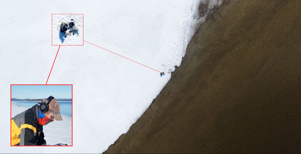
The project arrives right at a moment of political change in Sweden. Voters have just been to the polls, with early results giving the center-left opposition a narrow lead over the incumbent right-wing government. For Schölander, the dilemma Onne raises will remain — regardless of which parties forms the next government.
It’s not whether northern Sweden should stay untouched. It’s whether decisions about the next mine, road, wind farm or power project are made with the full picture in view. “Because the land around it is far from empty,” he says.

