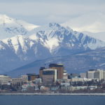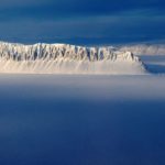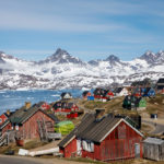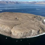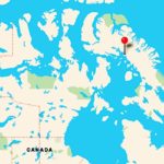

A Danish satellite effort is poised to make vast improvements to Greenland maps
February 22, 2017
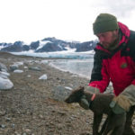
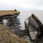
Getting hold of a map of Greenland is easy enough. But if you want one that is precise enough to use for infrastructure planning, navigation, mining or the like, you have, until now, either searched in vain or had to make one yourself.
Access to content from the Arctic Knowledge Archives is available to Passport holders only.
Arctic Today is a non-profit organization, supported by donations from readers like you. While we strongly believe in giving free access to current news for all readers, we reserve content older than one year for our supporters. All individual contributions of at least $20/month or $150/year will receive a Passport to the Arctic Knowledge Archives. Help us drive the leading non-profit editorial team dedicated to delivering context, information and analysis about events in the Arctic.
Already have a Passport? Sign in
choose your level of support and unlock your Arctic Passport.
- Monthly
- Annually
- Groups & Institutions
Individual Annual
$150.00
Year
Individual Monthly
$20.00
Month
Individual Monthly
$20.00
Month
Individual Yearly
$150.00
0