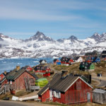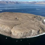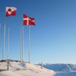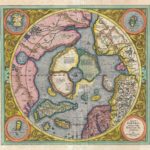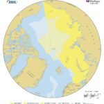

An extensive new map collection sheds light on Greenland’s political history
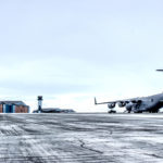
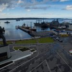
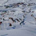
From Dutch whalers to Danish colonizers to U.S. military forces, maps of Greenland were usually drawn for strategic reasons.
December 30, 2022
Maps are mirrors of the ambitions of the mightiest and portraits of their makers’ dreams — and that’s just as true in Greenland, the world’s largest island, as anywhere else.
Access to content from the Arctic Knowledge Archives is available to Passport holders only.
Arctic Today is a non-profit organization, supported by donations from readers like you. While we strongly believe in giving free access to current news for all readers, we reserve content older than one year for our supporters. All individual contributions of at least $20/month or $150/year will receive a Passport to the Arctic Knowledge Archives. Help us drive the leading non-profit editorial team dedicated to delivering context, information and analysis about events in the Arctic.
Already have a Passport? Sign in
choose your level of support and unlock your Arctic Passport.
- Monthly
- Annually
- Groups & Institutions
Individual Annual
$150.00
Year
Individual Monthly
$20.00
Month
Individual Monthly
$20.00
Month
Individual Yearly
$150.00
0