
How Canada’s UN submission will (eventually) draw some of the last lines on its map
But it will be years before the process is complete.
June 7, 2019
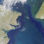
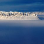
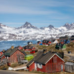
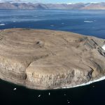
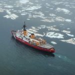
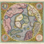
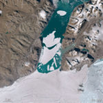
In May 2019, Canada made a partial submission to the United Nations to recognize an extended continental shelf beyond 200 nautical miles in the Arctic Ocean. This means that Canada will soon have the last lines drawn on the map of Canada.
Access to content from the Arctic Knowledge Archives is available to Passport holders only.
Arctic Today is a non-profit organization, supported by donations from readers like you. While we strongly believe in giving free access to current news for all readers, we reserve content older than one year for our supporters. All individual contributions of at least $20/month or $150/year will receive a Passport to the Arctic Knowledge Archives. Help us drive the leading non-profit editorial team dedicated to delivering context, information and analysis about events in the Arctic.
Already have a Passport? Sign in
choose your level of support and unlock your Arctic Passport.
- Monthly
- Annually
- Groups & Institutions
Individual Annual
$150.00
Year
Individual Monthly
$20.00
Month
Individual Monthly
$20.00
Month
Individual Yearly
$150.00
0