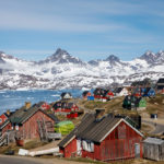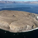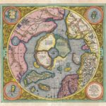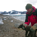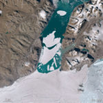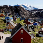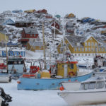

PHOTOS: Mapping Greenland’s big melt
Scientists are trying to better understand Greenland's melting ice — and what it will mean for global sea level rise.
September 21, 2018
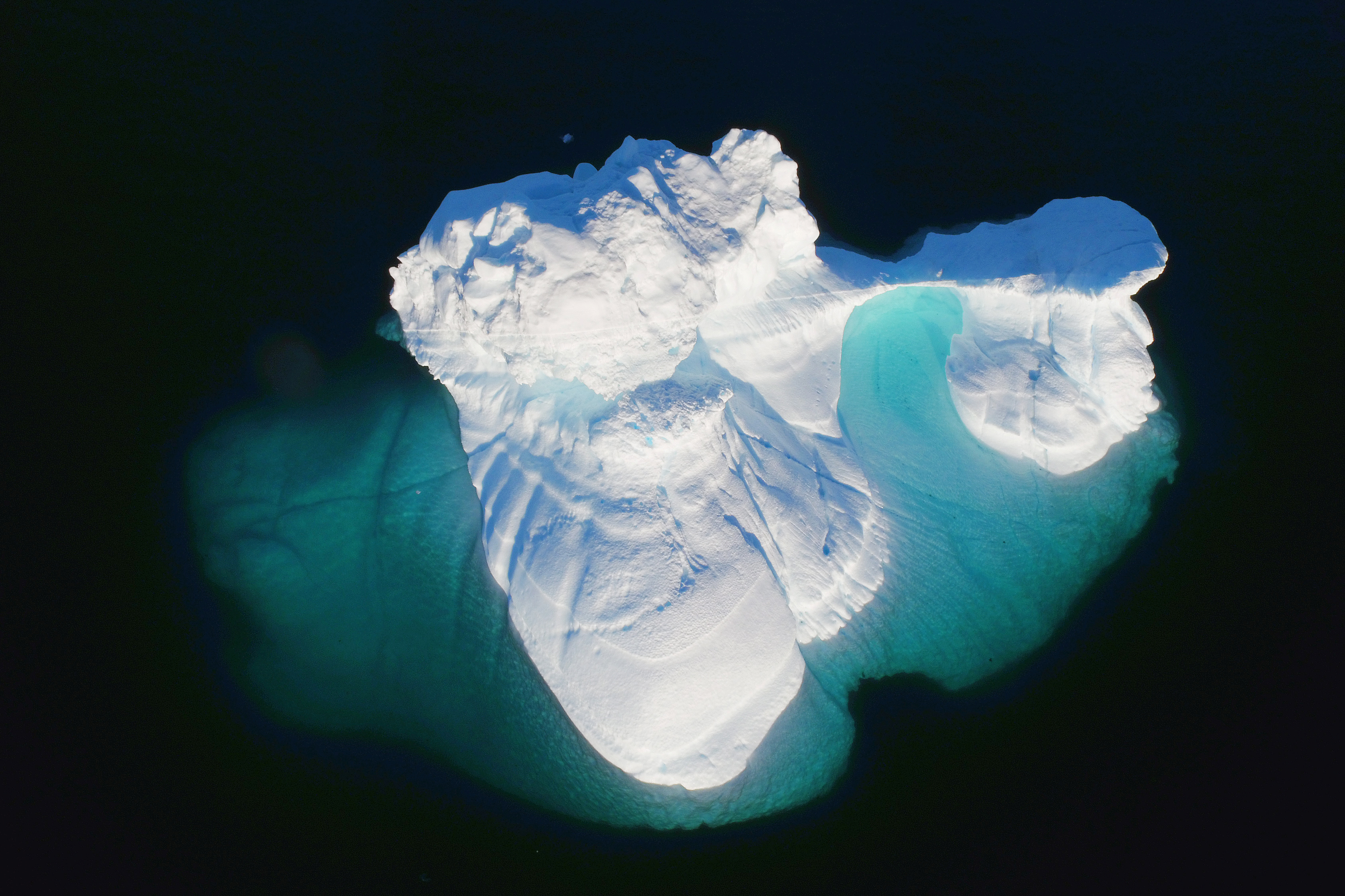
NASA scientists are mapping the loss of ice in Greenland, part of a cutting-edge effort to understand how warming oceans melt ice sheets — a key factor in improving uncertain forecasts for sea-level rise.
Access to content from the Arctic Knowledge Archives is available to Passport holders only.
Arctic Today is a non-profit organization, supported by donations from readers like you. While we strongly believe in giving free access to current news for all readers, we reserve content older than one year for our supporters. All individual contributions of at least $20/month or $150/year will receive a Passport to the Arctic Knowledge Archives. Help us drive the leading non-profit editorial team dedicated to delivering context, information and analysis about events in the Arctic.
Already have a Passport? Sign in
choose your level of support and unlock your Arctic Passport.
- Monthly
- Annually
- Groups & Institutions
Individual Annual
$150.00
Year
Individual Monthly
$20.00
Month
Individual Monthly
$20.00
Month
Individual Yearly
$150.00
0